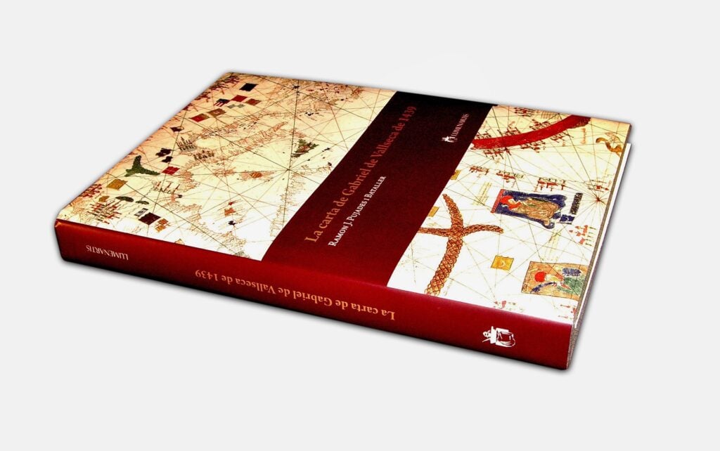
Gabriel de Vallseca's Nautical Chart of 1439
The only map portulan Hispanic preserved in our country
The most important copy of medieval nautical cartography
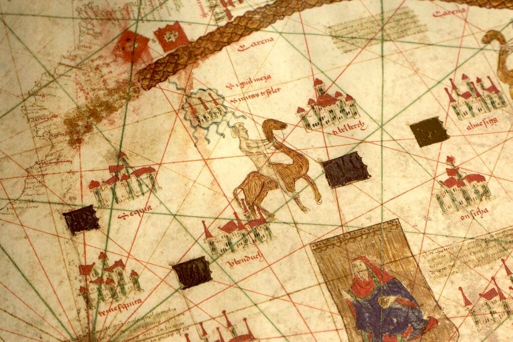
Developed in parchment and dated 1439, offers a detailed representation of the sea Mediterranean, the sea Black, the sea of Azov and the Atlantic coasts of Europe and North Africa.
Considered a real jewel in the collection of the Maritime Museum of Barcelona, has a monumental size of 75 x 112 cm.
A deep insight into the known geography
It is part of the folio V of the prestigious Catalan Atlas by Abraham Cresques, a compendium of handwritten maps that cover in detail the world known to Europeans of the time.
This atlas includes accurate depictions of various regions and provides valuable information about the geography, the culture and the routes commercial at the time.
Folio V, in particular, is one of the most important highlights, offering a deep insight from geographic knowledge.


The cartographic revolution of portulan charts
Over the centuries XIII to XV, The portulan nautical charts, representing new ways of describing the maritime space.
The Mallorcan Cartographic School emerged as a vital epicenter in cartography from the 15th to the 17th century. Being a pioneer in adopting the compass as a navigation tool. Driven by the monarchs of the Crown of Aragon and in tune with the Aragonese expansion in the Mediterranean, led the cartographic renovation
The cartographic revolution of portulan charts
This facsimile is accompanied by a book of studies that allows to deepen in this subject called «Gabriel Vallseca's Letter of 1439».» by Dr. Ramón J. Pujades i Bataller with texts in English, Spanish and Catalan covering the following topics 360 pages.